

Points of Interest
II – Holy Trace
The oaks of Kalenjë, Mount Shëndëlli, the hills of Mallakastra and the Lumara lakes, the Holy Trace and the Vakëf Oak, along Itinerary II.
Five points of interest along Itinerary II, from Ballsh to Cërrilë (Bardhaj).
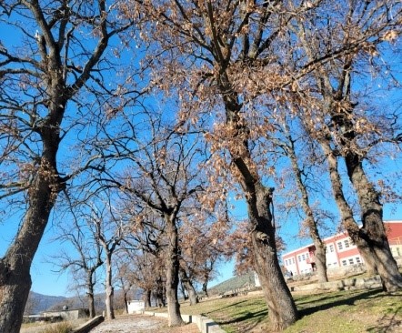
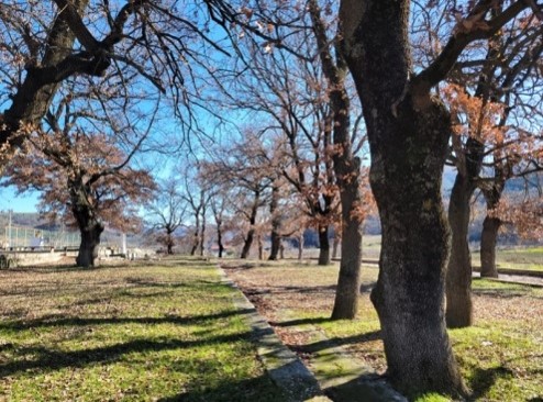
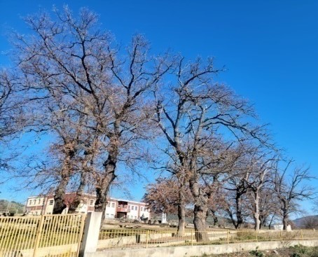
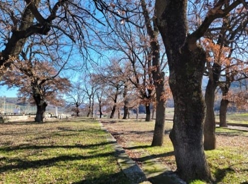
The Oaks of Kalenjë
- Type
- Natural monument (category III)
- Location
- About 7 km from Ballsh, near the main Ballsh–Aranitas road, in the grounds of the nine-year school of Panahor village
- Coordinates
- 40.604730, 19.774503
The Oaks of Kalenjë are a group of 21 oak trees, approximately 150 years old, located in Panahor village along the Ballsh–Aranitas road. Standing at approximately 200 m above sea level, they have an average trunk diameter of around 93 cm and a height of 13–16 m.
These oaks are of particular interest for nature-based and local tourism, as well as for their cultural value. The surrounding area offers opportunities for excursions and artistic, historical and sporting activities. The nearby nine-year school in Panahor also provides opportunities for educational activities that introduce pupils to nature and the importance of its conservation.
Good road infrastructure leading close to these natural monuments makes the destination easily accessible to visitors.
1 / 4
Mount Shëndëlli
- Location
- Aranitas village, about 9 km from the town of Ballsh
- Coordinates
- 40.588069, 19.799170
Mount Shëndëlli is one of the highest points in Mallakastra, reaching approximately 714 m above sea level. Characterised by low-growing vegetation, it offers an impressive view from the southwestern part of Aranitas village and stands out in the surrounding landscape.
In the past, a pilgrimage and religious celebration took place on the mountain on a special day in August, similar to the celebration held on Mount Tomorr in Berat. The destruction of religious sites and the prohibition of religious rites during 1967–1968 brought this tradition to an end. The celebration has not been held since, although there are initiatives to revive it as an event of spiritual and cultural value for the local community and of interest to visitors.
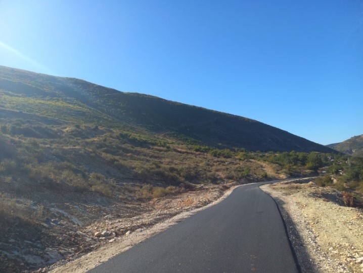
Along the itinerary, the mountain can be admired from a distance of approximately 2 km. A short stop at the location known locally as "Qafa e Gjerbsit" (Gjerbës Pass) offers an opportunity to enjoy the panorama and take photographs. The route then continues towards Gjerbës village, through hills covered with strawberry trees. The road has recently been reconstructed and provides very good access.
1 / 2
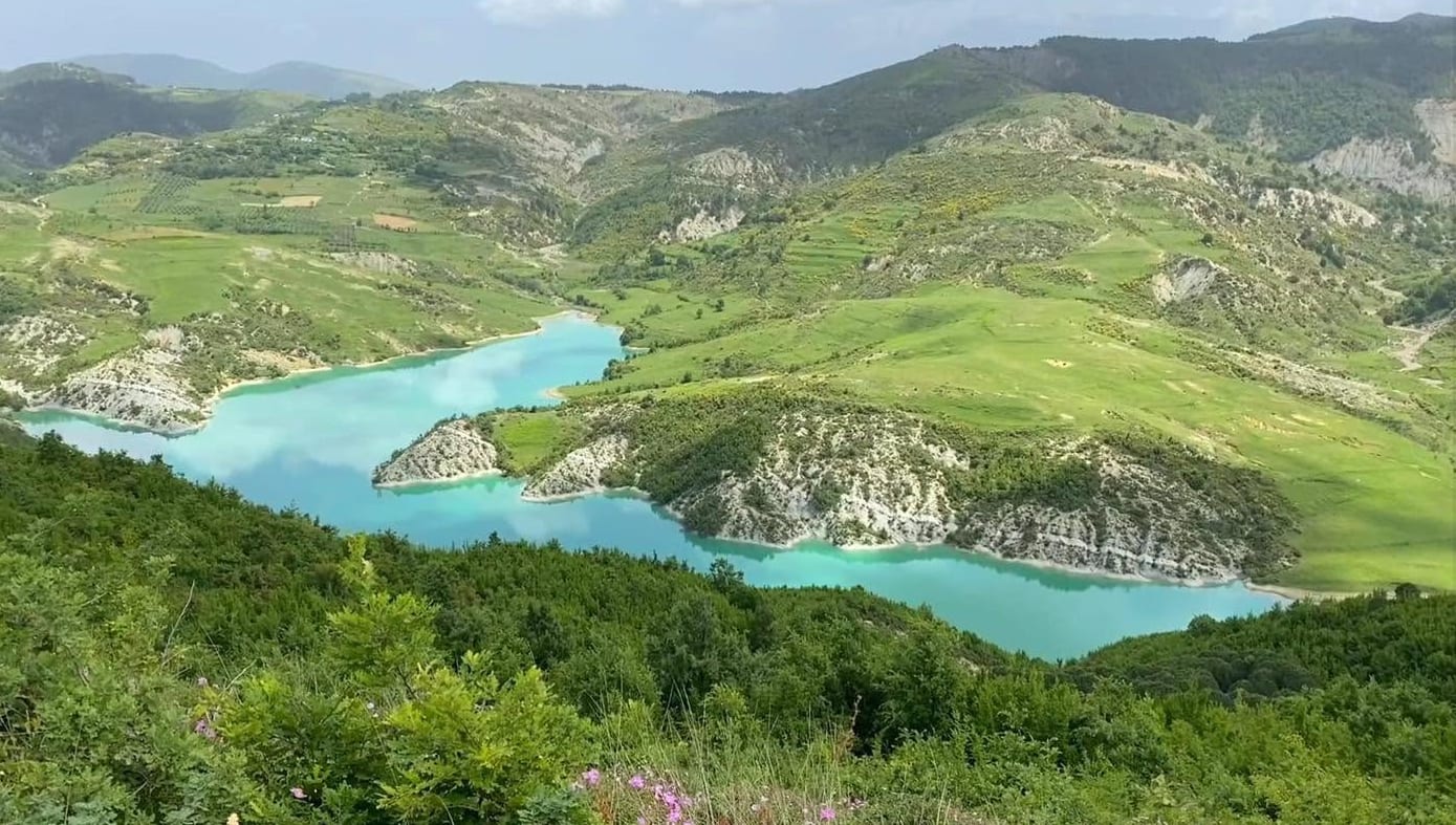
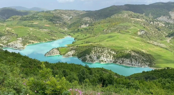
Landscape, the Hills of Mallakastra and the Lumara Lakes
- Location
- Selitë village. Viewpoints: Maja e Calës (40.546177, 19.854021) and Sheshi i Lepurit (40.543361, 19.861368). Lakes: Lumara 1 (40.540919, 19.890819) and Lumara 2 (40.547634, 19.871064)
- Coordinates
- 40.546177, 19.854021
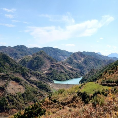
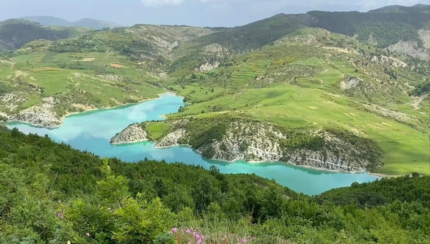
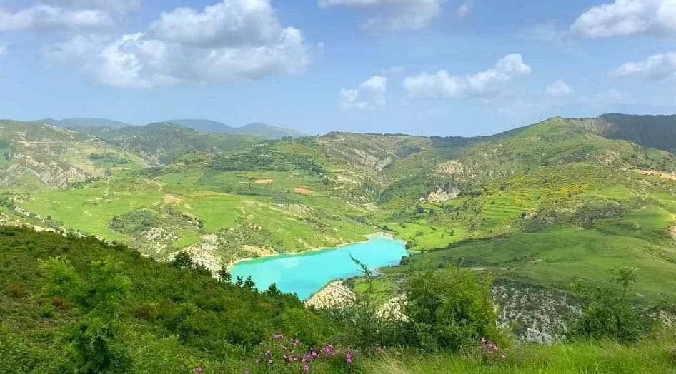
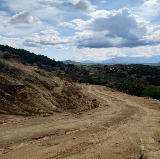
Between the villages of Gjerba and Selita, on the upper side of the main road that connects them, there is a panoramic square from where one can admire almost the entire Mallakastra and the surrounding areas. The wide views of the hills and the numerous hiking trails make this place an attractive point for stops, photographs and as a starting point for tourist, cultural and sports activities.
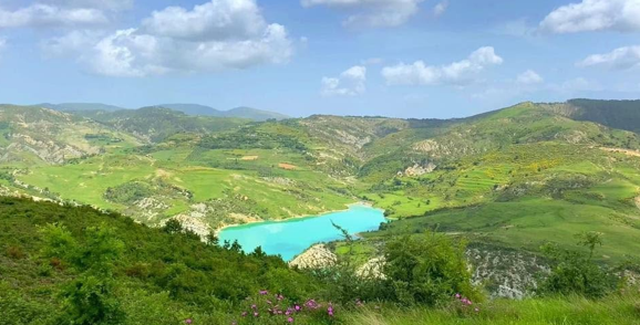
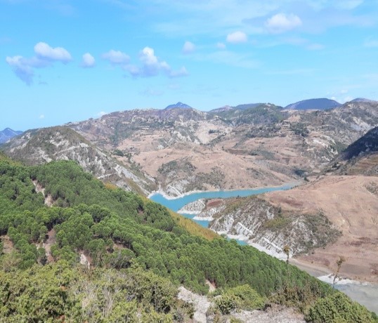
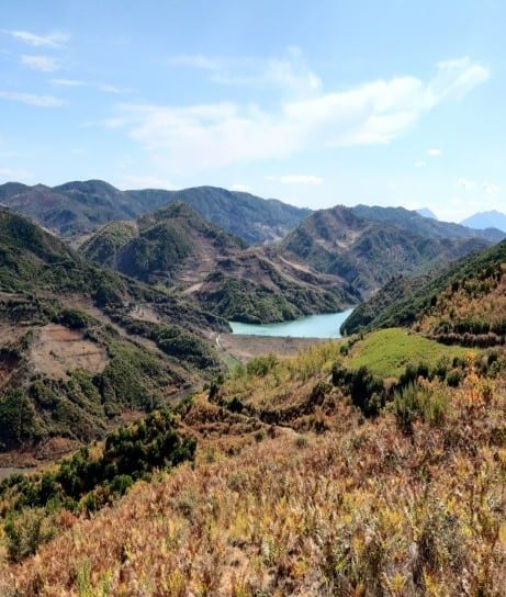
Going down further, visitors can reach the artificial lakes "Lumara 1" and "Lumara 2".
They are the two largest reservoirs, or artificial lakes, in the Mallakastra area. They were built during the communist regime, as part of the irrigation scheme for agricultural lands, significantly improving the water potential and covering about 50 percent of the arable area in Mallakastra. The Lumara lakes were valued at that time for their water-holding capacity and the effectiveness of their use to meet the needs of agriculture. Today, the situation has changed. Lakes "Lumara 1" and "Lumara 2" are no longer used simply for the purpose for which they were built, but have been transformed into two potential water spaces for the development of natural tourism in the area.
In this rich environment, the vegetation is diverse. Dominate, oak, elm, pine and shrub vegetation, such as fern and thorn. The area is also rich in forest fruits depending on the season. The proximity to the villages of Çerrilë and Aranitas, prominent for the values of historical, archaeological and archaeological heritage, transform this space into an extraordinary opportunity for the development of natural and cultural tourism. where, infrastructure, tourist structures, guides and signage, should become priorities.
1 / 9
The Holy Trace
- Location
- Bardhaj village, Cërrilë
- Coordinates
- 40.534637, 19.890062
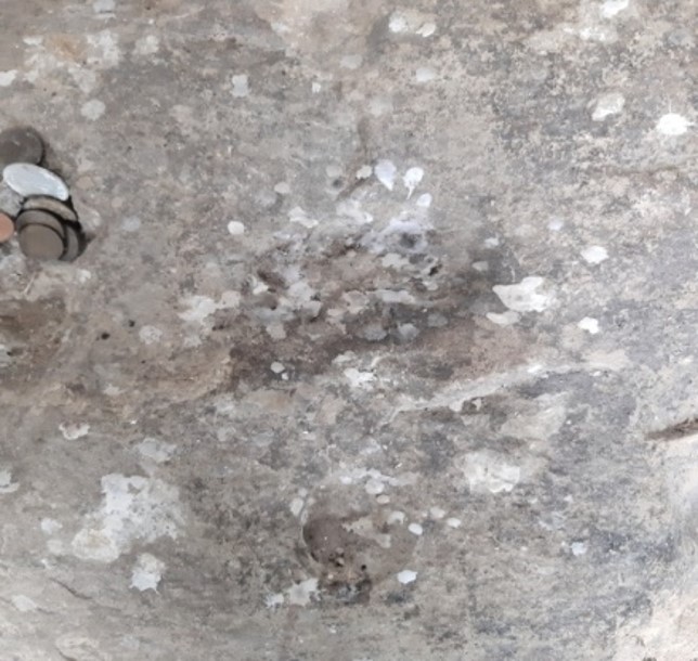
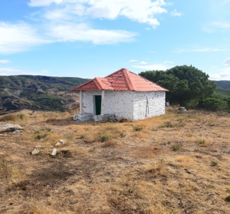
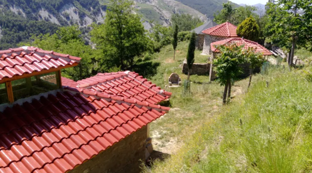
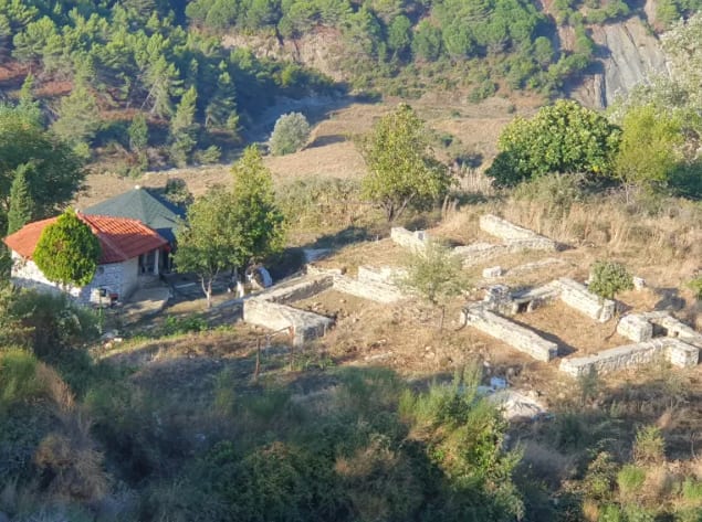
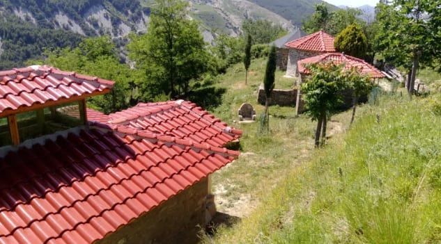
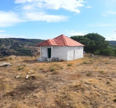
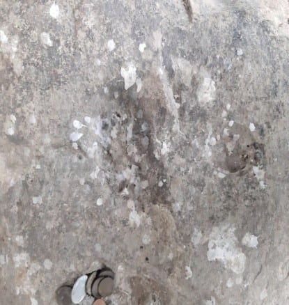
"The Holy Trace" is located at the top of a hill in the village of Bardhaj (Cërrilë). On the surface of a rock, preserved today inside a turbe, a hollow in the shape of a human footprint can be distinguished. According to the legends of the inhabitants, the trace is very ancient and is linked to the Prophet, the messenger of God. These accounts give the place a special spiritual and cultural significance.
The local tradition also links this place to an early pagan festival, during which the inhabitants would gather for a pilgrimage on a specific day of the year. According to local memory, the festival was banned during the communist regime, in 1967, in the period of the prohibition of religious practices and the destruction of many cult objects. Since that time, this tradition has remained largely forgotten.
The Holy Trace in the village of Çërrilë in Mallakastër is closely linked to the history of the tekkes and the tradition of the Halveti order in this region.
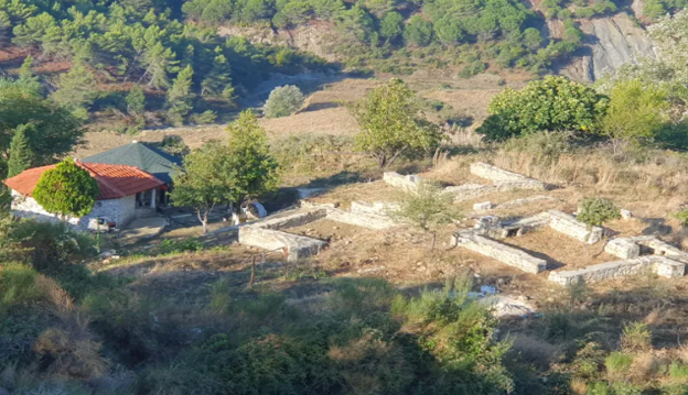
The tekke with this name, or the Tekke of Çërrilë, was built around the years 1790–1800, by the brothers Baba Sheh Dauti and Baba Sheh Meno, on the western side of Mount Plashnik.
The site and the turbe of this tekke were consecrated and officially recognized during the time of the Ottoman Empire, serving as a spiritual center for the inhabitants of Mallakastër and the surrounding areas. The Shehajs of Çërrilë have preserved the heritage of this order across generations.
More concretely, the name "Holy Trace" in the village of Çërrilë e Re (Bardhaj) in Mallakastër originates from a very ancient legend and local mystical tradition, which is transmitted from generation to generation in this area. This name refers to a spiritually consecrated site closely linked to the Tekke of Çërrilë (the Halveti order), which, as we emphasized above, was founded around the years 1780–1800 by the holy brothers Baba Sheh Dauti and Baba Sheh Meno. According to popular beliefs and the testimonies of the clerics of the Shehaj family (heirs of the tekke), the place bears this name because of the belief that there remained the "trace" or sign of a divine power or of a great spiritual cleric/saint during his passage or medin (prayers) in this quite rugged mountainous region.
This name coincides with the area where the Tekke of Çërrilë stood, at the foot of Mount Plashnik, which was recognized and officially consecrated during the time of the Ottoman Empire (in June of the year 1800). For the believers of the area, this place is considered a "vakëf" or blessed place, where the protection and miracles of Baba Dauti of Çërrilë are often mentioned in their prayers.
In 1969, the old village of Çërrilë (Çërrila Toskë) was partially relocated and connected to the new area, known in tradition also as Çërrila e Re, or the area of Bardhaj.
The legend was initially linked to the area of Old Çërrilë (Toskë), but after the village was moved toward the western side to the new village called Çërrilë e Re, or Bardhaj, the name of the holy site and the rites were carried along with the population and the descendants of the tekke to this new territory.
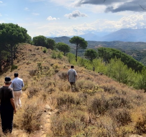
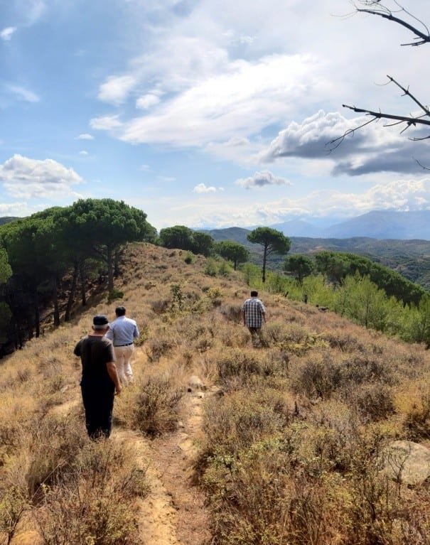
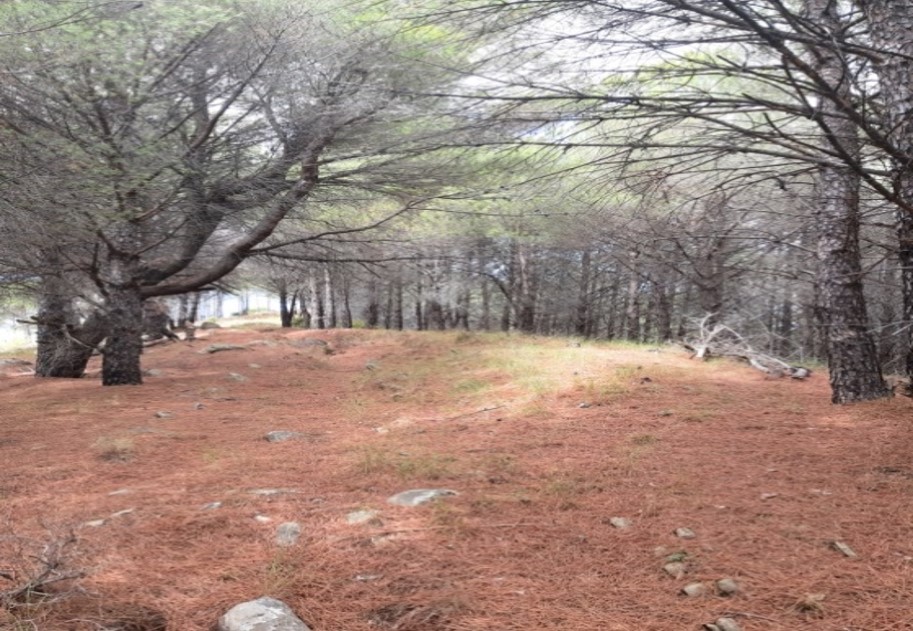
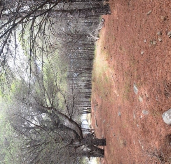
In addition to the spiritual heritage, the destination offers a picturesque environment. The final ascent on foot, of about 500 m, passes through an area with soft pines, whose scent accompanies visitors to the top. There is a square of approximately 5,000 m², from which a wide panorama opens over Mallakastër and toward the areas of Vlorë, Tepelenë, Berat, and Fier. The landscape and the tranquility make this place suitable for rest, photography, and contemplation of nature. The combination of nature, legends, and spiritual tradition makes the "Holy Trace" a destination with potential for cultural, religious, and nature tourism, as well as for educational and sports activities in nature.
Today, this destination is visited by believers seeking prosperity, lighting candles and commemorating the spiritual heritage of their ancestors.
1 / 10
The Vakëf Oak
- Type
- Natural monument (category III)
- Location
- Çerrilë village, Selitë administrative unit, Mallakastër Municipality, Fier County
- Coordinates
- 40.531908, 19.890346
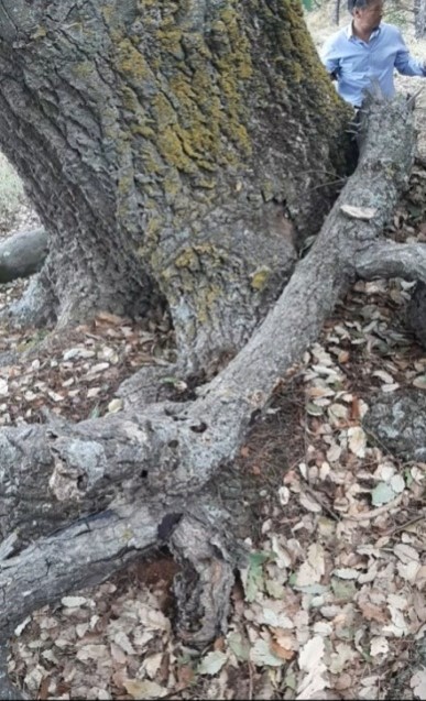
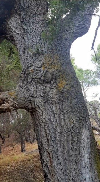
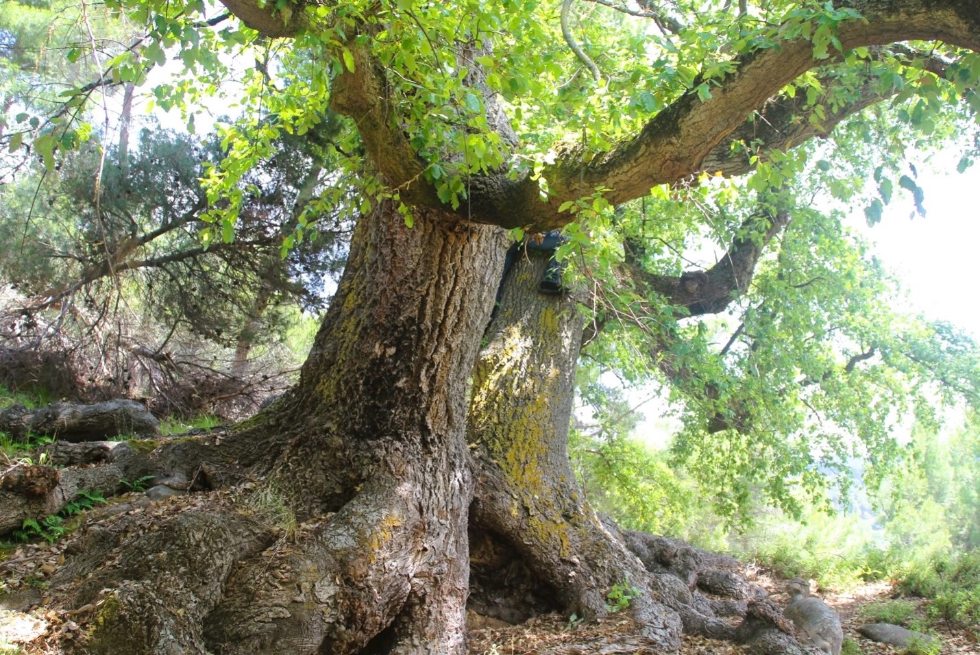
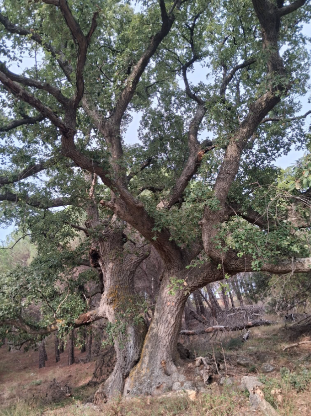
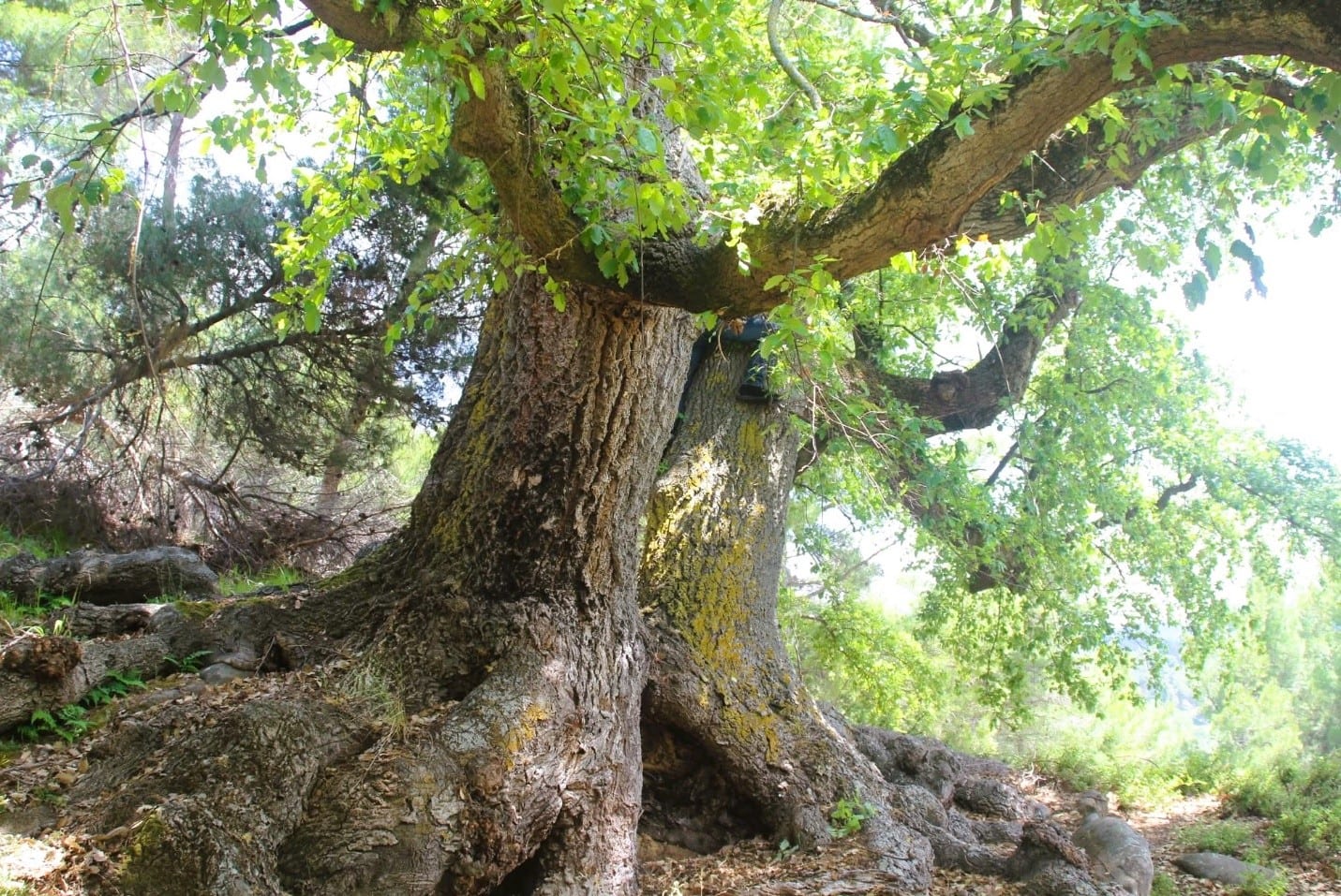
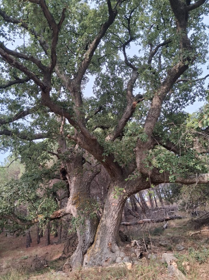
The Vakëf Oak is located in the village of Bardhaj (Cërrilë), about 640 m above sea level, on the southwestern side of the hill of the "Holy Trace," approximately 300 m from this destination. With an estimated age of about 450 years and a height of approximately 22 m, it constitutes a natural monument of particular interest to visitors.
The oak stands out for its massive trunk and thick branches, spread out and with irregular shapes. It stands isolated among the surrounding vegetation, composed mainly of pines, creating a distinctive sight in the landscape of the area. According to local inhabitants, its crown remains green throughout the entire year. This feature, conveyed by local testimonies, remains to be studied further.
According to legends, about 300 years ago, beneath the crown of this oak, a holy man rested, tired and exhausted from the heat. After resting, he was refreshed and filled with life. He prayed, "May you never dry out, oh oak." And God heard his prayer. For 300 years, this oak continues to be green, majestic, and with a fascinating appearance, against a wonderful natural backdrop.
The proximity to the "Holy Trace" creates the opportunity to visit both points along the same itinerary, combining the appreciation of nature with the cultural and spiritual heritage of the area.
1 / 7